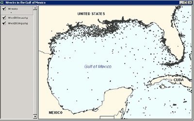
The Global Maritime Wrecks Database (GMWD) is a worldwide ArcView point shapefile of over 250,000 wreck locations. Each wreck is attributed with information that includes: Wreck name, nationality, date of sinking, depth of wreck, vessel category, gross tons, method of sinking, nominal accuracy of wreck location, original source of wreck, nationality of the vessel that sank the wreck, and more.